Category: Weather

  • El Niño has formed officially, and it likely will be one of the strongest on record

    El Niño has formed officially, and it likely will be one of the strongest on record

    El Niño has formed officially and it is likely to become one of the strongest on record, with potentially profound impacts on the hurricane season and the U.S. winter, government meteorologists announced Thursday.

    As it matures during the summer and fall, it is likely to hold down the numbers of Atlantic tropical storms. And while it is impossible to predict what it might mean for winter around here, some of Philly’s strangest winters have coincided with El Niño.

    Scientists with the National Oceanic and Atmospheric Administration see a 63% likelihood that this El Niño will qualify as “very strong” and rank among the elite of the last 75 years.

    El Niños occur every two to seven years as part of a natural process as east-to-west trade winds that push water into the western Pacific slacken and massive amounts of warm water move eastward.

    In the key El Niño region of the central Pacific, sea-surface temperatures over a 2.4 million-square-mile area become anomalously warm. In this instance, NOAA says, the temperatures may end up being 3.5 degrees Fahrenheit higher than normal.

    All that warm water interacts with the overlying atmosphere to disrupt weather-bearing winds worldwide.

    The naming has been attributed to Peruvian fishers who lamented the effects of the warmth on the anchovy catch. They called it a Spanish term for the Christ child, since this tended to happen around Christmastime.

    El Niño and the hurricane season

    El Niño’s impacts can be enormously disruptive, but it’s possible that residents of the Caribbean, Atlantic, and Gulf coasts will catch a break.

    The phenomenon can have a dampening effect on hurricanes.

    One well-documented effect of the warming is that it generates powerful upper-air winds from the west that can have shearing effects on incipient tropical storms in the Atlantic, thousands of miles away.

    On Wednesday, Philip Klotzbach, a researcher at Colorado State University, which developed the prototype for those seasonal hurricane outlooks, reduced the storm numbers in his forecast and is now calling for only five hurricanes. The average is seven.

    Some of the quietest Atlantic hurricane seasons on record have occurred during strong El Niño years.

    El Niño and the Philadelphia winter

    Strangeness is no stranger to Philadelphia winters, but strong El Niños have coincided with extremes of snow — in both directions.

    In 1972-73, for example, no measurable snow fell in Philadelphia, and only 0.8 inches accumulated in the 1997-98 winter. Philly was hit with a 21.3-inch blizzard in February 1983 and a 2-footer in January 2016, both during high-end El Niño years.

    Unfortunately, in the short term, El Niño isn’t going to be doing anything about this heat and humidity.

  • Steamy weather threatens fan fest, and Philly’s 1st World Cup game won’t feel like home to either team

    Steamy weather threatens fan fest, and Philly’s 1st World Cup game won’t feel like home to either team

    No matter what else happens at the World Cup’s FIFA Fan Festival events Thursday and Friday on Fairmount Park’s Lemon Hill, expect hot times.

    After setting four high temperature records since April, two more could fall this week in Philadelphia as a very warm June picks up steam and the mercury heads to the mid-90s on both days, while the atmosphere turns to soup.

    “It’s going to be very uncomfortable,” said Bob Oravec, senior branch forecaster at the Weather Prediction Center in College Park, Md.

    The National Weather Service in Mount Holly said heat indexes could reach 103 on Thursday and 105 on Friday in the city, and the Philadelphia Department of Public Health has declared a heat emergency.

    With the increase in water vapor and an approaching front, thunderstorms also could pop up, and festival organizers are well aware of the potential at what will be a “rain-or-shine event,” said Philadelphia Soccer 2026 spokesperson Melissa Ferdinand.

    Conditions are due to improve on the weekend, with lower humidity and just an outside chance of showers during the Sunday night match between Ecuador and Ivory Coast in South Philly.

    The weather outlook for the fan fest activities

    When the fan festival gets underway at 2 p.m. Thursday, chances are excellent that Philly will be chasing a record, with a Friday encore. The all-time high for both Thursday and Friday in Philly is 95 degrees.

    Thunderstorms are possible both afternoons, with about a 15% chance that they reach severe status — with wind gusts near 60 mph — according to the Storm Prediction Center in Norman, Okla.

    Soccer matches will be televised throughout the festival, including Sunday’s game in Philly, and in the event of severe weather, the screens will carry evacuation orders, along with announcements and text communications, Ferdinand said. “Our highest priority is the safety of our guests,” she said in an email.

    On Saturday, conditions should improve markedly, with daytime highs several degrees lower and the mugginess backing off. On Sunday, temperatures are expected to climb back to the low and mid-90s, but the humidity should not approach the Thursday and Friday levels.

    The weather outlook for Sunday’s game

    Temperatures around game time are forecast to be in the upper 80s with comfortable humidity and a breeze under 10 mph.

    The only caution flag would be the chance of a shower, said Mike Lee, a meteorologist at the weather service office in Mount Holly, but “it looks like it’s going to be on the hit-or-miss side of things.”

    It should be comfortable for the fans, but upper 80s would not be a cool dip in the pool for the players, who can run six miles or more during a match — no home run trots in soccer. Throughout the tournament, heat and humidity certainly are going to be players, said Ryan Calsbeek, a runner and Dartmouth College biological sciences professor.

    He allowed that running this week was an ordeal. Granted, it got up to only 85 degrees where he lives in New Hampshire, but it was the first warm shot of the season, and his body let him know it was not enjoying the adjustment. Acclimatization certainly will be a challenge to the World Cup participants at the venues across the United States, Canada, and Mexico, he said.

    The atmospheric conditions on Sunday in Philly are not going to feel much like home to either team.

    The Ecuadorians may even get a little homesick. They play in Quito, right on the equator, but their stadium is at an elevation of more than 9,000 feet — 1.7 miles. Temperatures decrease with height, and the average high in June in Quito is 70 (the same as it is in January).

    Conversely, the Ivory Coast team’s home field is in Abidjan, a city of more than six million on the south-central Atlantic coast. The region gets prodigious amounts of rain as storm waves move across east to west across the continent, said Tom Kines, senior meteorologist with AccuWeather Inc. And is it ever muggy.

    Les Elephants might view South Philly as a vacation spot.

  • It may feel like 100 degrees in Philly on Thursday and Friday. The early heat could pay off.

    It may feel like 100 degrees in Philly on Thursday and Friday. The early heat could pay off.

    With the summer solstice still two weekends away, already the temperature has reached 90 degrees or higher in Philly nine times.

    And while the sequence of 90s has been extraordinarily premature, the early experience may come in handy this week as the region could experience triple-digit heat indexes.

    “It will definitely feel different,” said Ray Martin, lead meteorologist with the National Weather Service office in Mount Holly, as the humidity and dew point, the measure of absolute moisture in the air, reach their highest levels of the year to date.

    Any 100-plus heat indexes may present challenges to some older residents, and those with heart and other health issues. The weather service Wednesday morning issued an advisory for indexes of up to 103 Thursday and Friday.

    But the heat the region has experienced, starting in mid-April, could be viewed as a sort of spring training for the discomforts to come, said Samuel Eldrich, director of the Temple Health-Chestnut Hill Hospital Emergency Department.

    “It’s all about adaptability,” he said. And it’s not just physiological, he said.

    In addition, a juicier atmosphere may squeeze out some much-needed rain.

    The regional forecast for the next several days

    Showers are possible Wednesday morning and late in the day, Martin said, with highs in the mid-80s. However, it might not get cooler than 70 degrees early Thursday, a sign that mugginess is on the increase.

    A moist air mass inhibits daytime heating from escaping into space, and the heat and humidity build for real on Thursday.

    “It’s not going to feel nice out there,” said Tom Kines, senior meteorologist with AccuWeather Inc.

    Shower chances are in the forecast Wednesday through Friday, and at times the atmosphere will be highly energized, Martin said. The Storm Prediction Center in Norman, Okla., has outside chances for severe thunderstorms for the entire region Thursday and Friday. Isolated flooding downpours are not out of the question, Martin said.

    The heat and storm threats should back down some by the weekend, when Philadelphia hosts the World Cup match between Ecuador and the Ivory Coast, with a high about 90, the air less muggy, and rain looking unlikely.

    How hot has it been in Philly so far?

    Philly has logged four daily highs of 90 degrees or more so far this month, and nine since April — including four record highs — almost a third of the average for an entire year.

    Whether that is a harbinger of a punitive summer is beyond the realm of reliable forecasting, but the early heat is likely to have some positive effects, Eldrich said.

    Far more dangerous are hot spells that come abruptly after the weather has been relatively cool and comfortable for a period, he said.

    Early heat, which typically is short-lived, can make a difference in terms of how we respond to subsequent hot spells. “You’re more accustomed” to the heat, Eldrich said. “You’ve adapted to the lifestyle. You sweat more quickly, more easily.”

    People are more likely to stay inside, and stay hydrated.

    “It’s both the physiological and the cultural factors,” he said. “In the South, you don’t hear about heat exhaustion or heat emergencies. It’s something they deal with three-quarters of the year rather than a quarter of the year.”

    Drought conditions persist, but more rain may be coming

    The longer-range outlooks favor above-normal temperatures for the rest of the month, but they also see the odds tilted toward above-normal rainfall.

    That would be a switch. Philadelphia’s precipitation has been below normal for 10 consecutive months.

    “We could certainly use the rain,” Martin said. The interagency U.S. Drought Monitor has most of the region under “severe drought” conditions. State-declared drought emergencies remain in effect in New Jersey and Chester County.

    Any showers would mean temporary breaks in the heat Wednesday and Thursday, and the heat wave is not expected to survive the weekend, in keeping with a trend.

    Even though average summer temperatures have been rising, the hot spells this century have not lasted as long as some of those of the 1990s.

    “Let’s hope that streak continues,” Martin said.

    Whether it is related to heat-wave durations or the city’s responses to hot-weather emergencies, heat mortality is way down in Philadelphia.

    From 1991 through 2000, 227 heat-related deaths were recorded in the city. In the last 10 years, there were 37.

  • How much snow, and when will it begin snowing in the Philadelphia region?

    How much snow, and when will it begin snowing in the Philadelphia region?

    As much as two feet of snow could fall in and around Philadelphia in what forecasters are warning could be a “historic winter storm.”

    The National Weather Service is forecasting 18 to 24 inches of snow to fall in the city, which would make it one of the top 10 snowstorms in Philadelphia history. Though it’s not expected to top the nearly 31 inches of snow that blanketed Philly over a two-day period during the Blizzard of 1996.

    Philadelphia, Bucks, Delaware, and eastern Montgomery Counties, and all of New Jersey and Delaware, are currently under blizzard warnings through 6 p.m. Monday. That’s prompted by forecast wind gusts of up to 45 mph, combined with the heavy snow. The western suburbs are covered by a winter storm warming, with slightly lower wind speeds forecast.

    The storm is expected to begin as rain before shifting to snow by midday Sunday. It’s forecast to strengthen overnight, possibly at a rate of more than 2 inches an hour, which would make driving dangerous and nearly impossible.

    The last time the city experienced more than two feet of snow was 2010, when nearly 29 inches fell in early February 2010. Over a five-day period, the city was buried under 44 inches of snow, which thankfully isn’t expected this time due to a warm-up in the middle of next week.

    This time around, the Jersey Shore is expected to be hit hardest, with snowfall totals in and around Toms River forecast to reach as high as 30 inches.

    The National Weather Service puts out forecasts for every few square miles of land in the United States four times a day through a system called the National Digital Forecast Database.

    The maps below display that data. Use it to find how much snow is expected anywhere in the eastern United States. It will show the most recent forecast over the next few days.

  • Winter storm totals: How much snow and ice fell in the Philadelphia area?

    Winter storm totals: How much snow and ice fell in the Philadelphia area?

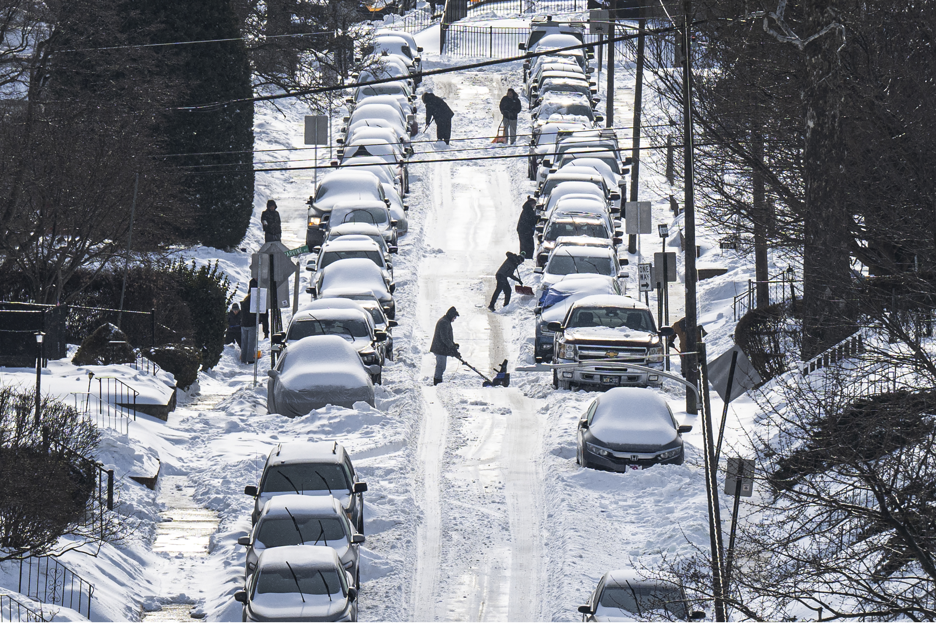
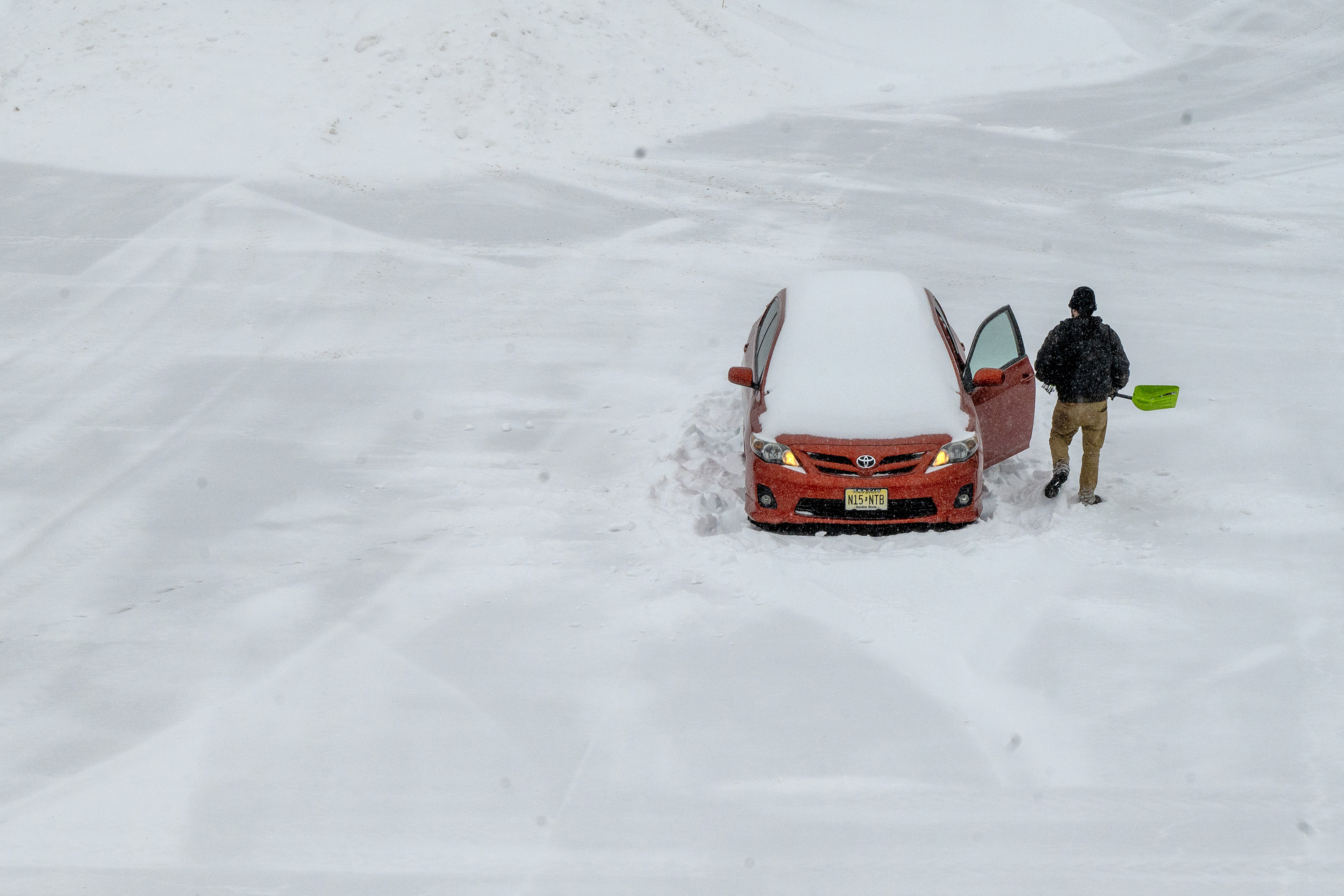
    A far-reaching winter storm blanketed the Mid-Atlantic in an icy brew of snow and sleet Sunday, with preliminary totals exceeding two feet in parts of Pennsylvania.

    Philadelphia International Airport received its biggest snow of the season, and in 10 years, with 9.3 inches of snow and ice recorded by 12 a.m., after precipitation ended, according to the National Weather Service.

    Philadelphia ranked near the middle of the pack of regional totals. A survey of five regional National Weather Service offices showed PHL’s total ranked 228th of 768 storm total reports made by Monday morning.

    The Philadelphia metropolitan region generally received between six and 12 inches of snow by Sunday evening, according to National Weather Service reports.

    Among the highest totals outside of the city:

    • East Nantmeal- 12.8 inches
    • Malvern- 12.5 inches
    • East Rockhill – 12.3
    • Skippack – 12.2 inches
    • Gardenville – 12.0 inches

    Farther north, as much as 24 inches was reported in Laurel Summit in Somerset County, Pa. Dulles International Airport in Washington, D.C., reported 7.8 inches of snow and ice as of the morning. New York City’s Central Park piled up 11.4 inches.

    Use the map and chart below to find preliminary snow totals in your area. Hover over dots on the map to reveal more information, or search for Philadelphia-area totals below.

  • How much snow, and when will it begin snowing in the Philadelphia region?

    How much snow, and when will it begin snowing in the Philadelphia region?

    Philadelphia is expected to see its most significant winter storm in years this weekend, with nearly a foot of snow and ice expected from a formidable low-pressure system sweeping across the eastern United States.

    Official National Weather Service forecasts say six to 18 inches of snow is possible across most of New Jersey and Pennsylvania, including Philadelphia as the storm pushes through the region Saturday night to early Monday morning. More than 21 states are expected to experience at least moderate impacts from the storm, the weather service said.

    Forecasters said that mixing with sleet and freezing rain could hold down overall snow totals across Philadelphia and South Jersey, but the storm is likely to hinder if not halt most travel on Sunday, regardless.

    The National Weather Service puts out forecasts for every few square miles of land in the United States four times a day through a system called the National Digital Forecast Database.

    The maps below display that data. Use it to find how much snow is expected anywhere in the eastern United States. It will show the most recent forecast for the next three days.

    A considerable amount of freezing rain and sleet may also fall during the storm, leading to icing concerns. The map below displays the forecast for ice accumulation, or accretion, over the next three days.